Eduardo Guajardo, winner of the Ocean Hackathon 2022: "Chile could be a world leader in ocean care studies"
Date :
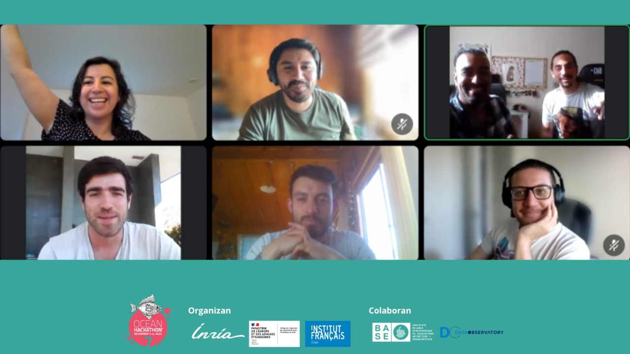
A multidisciplinary team, led by marine biologist and Ph.D. candidate in Ecology, Eduardo Guajardo, was the winner of the second Ocean Hackathon held in Chile and South America. The event aims to bring together teams of specialists who can, in just 48 hours, develop a concrete and innovative solution to particular ocean issues.
This year, the theme was focused on ocean biodiversity and the functions of marine ecosystems, and four teams with expertise in communication, data analysis, systems engineering, UX design, environment, marine biology, and oceanography, among many other areas, sought to present the prototype of a solution related to the problem in just two days.
Eduardo is a familiar face to the Ocean Hackathon, as he was part of the team that triumphed in 2021. This year, the solution presented was "Satellite tracking of seaweed forests, efforts for spatiotemporal reach," which sought to develop a code in time series of multispectral filters to analyze macroalgae forests, ecosystems recognized as one of the most productive and dynamic on Earth, and the modifications they have undergone due to climate change.
The researcher states that at the Hackathon they managed to develop the prototype and considers that they had "a dizzying level of efficiency in these 48 hours. I really didn't think we were going to accomplish so much. This allows us to dream, because if we achieve all of this in that time, imagine what can be achieved with more years, with more funding... the possibilities are limitless."
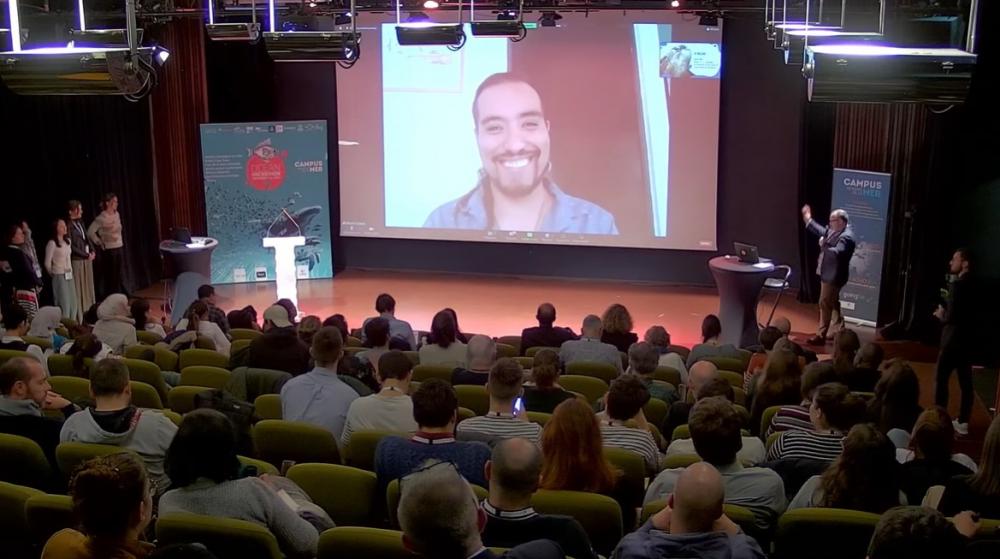
The OH is held simultaneously in 13 other cities around the world, and the winners can then participate with their project in the grand final in Brest, where they will compete against the winners of the other participating countries. For the biologist, this will be the second consecutive time and he explains that "this is the most enriching and fun part, because finally, people from different knowledge areas and with diverse motivations come together, and the conversations are always important," he explains.
It was quite special. I'm not sure if all the teams finally managed to achieve the level of communion that we reached. This served as a kind of catalyst to bring us all together, who are also from such different fields. Once we got to know each other, we started working with a level of companionship and complicity that I had never seen before. It was a dream team, and in that sense, working with them for 48 hours was very enjoyable, motivating, and the results started coming out at a dizzying speed. So, the feeling was wow, we're achieving so much in such a short time, and it was very enriching in that sense.
The idea was born as a development of Alejandra Mora. So, when I presented this challenge, the first thing I did was to contact her and say 'look, we're going to use what you developed and the idea is to take it one step further'. She was willing to participate with all her energy and knew a couple of people who later joined the team. In my circles, I also have people whose profile matched perfectly with what we wanted, so I invited them to participate and each one of them showed great excitement. Putting the team together was about talking to people we already knew could be interested and had the skills to do it, and bringing us all together. There, Alejandra was also a cornerstone in the development.
I am a marine biologist and currently studying a PhD in Ecology. There are four of us who are marine biologists, and three specialize in underwater forest systems. There are people who specifically work in the area of data science, people from a more engineering and Remote Sensing background, so the competencies are covered.
I would like to start by describing the underwater forests a bit, because they are unique systems that, just like terrestrial forests, form a canopy (Editor's note: the upper stratum of the forest) over the seabed, and that makes the biodiversity explode, just like in a forest here on land. The difficulty in monitoring them means that we have to go to the field with diving equipment, and actually sampling or monitoring a forest in the sea is much more difficult than on land.
There are some species whose canopy reaches the surface, so this canopy can be recognized through satellite images. That particularity is what opens up possibilities for development, because if these pieces of forest can be recognized in satellite images, then a larger region or all of Chile, for example, could be recognized. With a single view, you can know where each of these forests is, and given that there are images from 2015 and new ones are being integrated, not only do you have the visualization on the ground, in space, but you also have the information on how this spatial information is changing over time in a time series. What we are looking for is to implement and facilitate access to this data which, in terms of space and time, is a unique scale that we have not had before.
As part of the technology development, the fundamental idea is to make this data accessible in a user-friendly way for anyone who wants or needs to know about the spatial structure and temporal dynamics. However, since we are also a multidisciplinary team that knows how to analyze such complex databases, which are structurally or temporally spaced in non-continuous mosaics, we not only intend to use and publish the information but also work with and analyze it to extract indices that could be of interest.
In the Hackathon, I suggested that one of the most conspicuous interests or previews that I can imagine today is that all governments should be interested in having a tool that indicates or gives them early warnings of population decline in any ecological system. If they had this and realized that populations were declining, they could generate urgent strategies to combat it immediately. That is one of the things that one could aim for with this technology once it is up and running.
Almost 100% became tangible. For the Hackathon exercise, we started with three sites: one near Punta Choros, which includes Isla Damas and Isla Gaviotas; another in Algarrobo, in the central zone, and the third in Navidad. So, based on these three sites, we started testing everything I've been telling you about and we obtained many results: stability indices, relationships with census cycles, relationships with temperature, annual and monthly temporal trends, and we were able to do everything in a very efficient way.
I think the tutoring worked better this year. You could tell that the professors were always keeping an eye on the development, they walked around a lot; we had to explain the idea over and over again, and we managed to refine the pitch more clearly. I felt that the team was extremely motivated from beginning to end, even when we had to say 'ok, stop here, because we need to rest and we need to save energy for what's coming', and even when we gave that instruction, we kept working.
We have three sites, so the next step is to replicate the same methodology and hopefully cover the entire coast. If we cover a larger spatial area, then the level of analysis and inferences we can make will be more significant. If we achieve that by February, then we can present a much more finished and visually impactful prototype, with more substantiated ecological statistical inferences. So that would be the first step. Then comes continuing to seek funding to raise what we need, which hopefully will be a complete mapped region, and continue to complete the map.
Yes, in fact, Chile could position itself as a world leader and lead the efforts for these ocean conservation studies. As a country, we have a particularly rich and important specificity, like a natural laboratory.
As scientists, we have a huge task in the realm of cooperation. There are many questions that we need to answer, and those questions are essentially answered with data. So it's pointless for each researcher to go on their own. Using the same data over and over again is an energy loss, so making the data freely available helps the scientific community avoid spending that extra energy. Additionally, there is a significant digital technology illiteracy in ecology, and we would like to offer support in that area, hopefully by uploading tutorials and courses on how to implement these tools in their own research, because, of course, we need to move forward and we need to move faster.